Mount Takao
Mount Takao to Mount Jinba
Difficulty: Medium
Peak elevation: 857m
Approximate length: 17km
Highlights: Mount Jinba’s food huts on the peak and a strange horse sculpture
Starting point: Takaosanguchi Station
Finishing point: Jinba Kougen Shita bus stop
For those who have dabbled in the world of hiking just outside of Tokyo, Mount Takao might seem not worth mentioning given how well-trafficked it is. However, there are many reasons this mountain is popular; it’s easily accessible by train, the cherry blossom views are stunning, the beer garden in summer is a delight, and you don’t even have to hike if you don’t want to, thanks to the cable car and chairlifts.
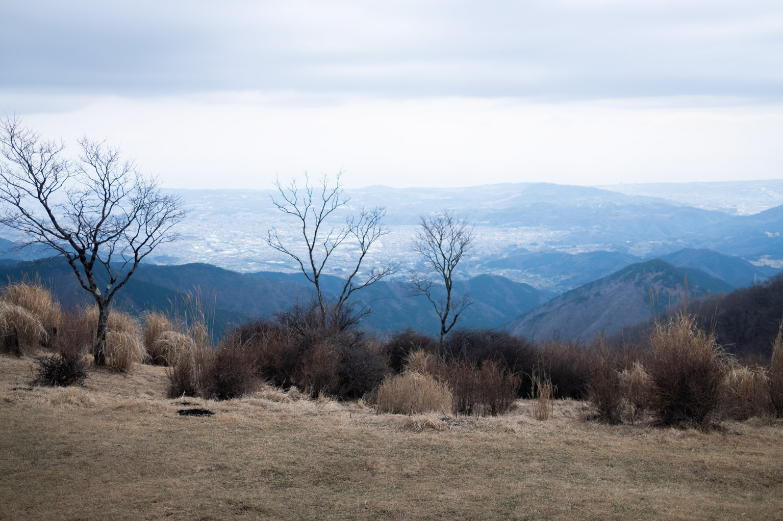
Takao is also the entry point to less-trampled but still well-maintained hiking trails that tower just outside Hachioji’s city limits. Take the Mount Takao to Mount Jinba route to explore the area in depth. Starting at Takaosanguchi Station, follow the signs to the Inariyama trail. Along this route you’ll be privy to some pretty spectacular views of Mount Fuji — as long as the weather isn’t too hazy — as well as Tokyo and Mount Tsukuba.
From this stretch, you’ll continue to Mount Shiroyama and Mount Kagenobu before seeing signs for Mount Jinba. The journey is a combination of densely forested trails and wide open mountaintop views. The best – arguably – is from the Mount Jinba summit, which is only elevated when accompanied by a bowl of soba noodles or kakigori from one of the two mountain hut restaurants.
Tanzawa Omote-one Traverse
Tanzawa Omote-one Traverse
Difficulty: Higher-medium
Peak elevation: 1,491m
Approximate length: 15km
Highlights: Ocean and Fuji views all the way through
Starting point: Yabitsutoge bus stop
Finishing point: Okura bus stop
Less well-known than some of the other Tokyo-adjacent mountain ranges, Tanzawa‘s sweeping ridgeline scenes and endless Mount Fuji views are severely underrated. The beginning of this route is gradual but challenging, with the first two points, Mount Ninoto and Mount Sannoto, requiring a little chain-wrangling work.
After that, there’s a little up and down before making the final leg from Mount Gyojagatake to Mount Tonodake, the highest peak of the route. One of the most satisfying parts of this journey is the exposed nature of the mountain, which not only makes you feel like you’re literally on top of the world but also lets you see how far you’ve come. You can mark your progress by the existence of small toilet huts dotted along the ridges, which offer a little inspiration and encouragement when you need it most.
Mount Mitake to Mount Nokogiri
Difficulty: Medium
Peak elevation: 1,266m
Approximate length: 15km
Highlights: Wrap-up drinks and eats at Vertere
Starting point: Mitake Station
Finishing point: Okutama Station
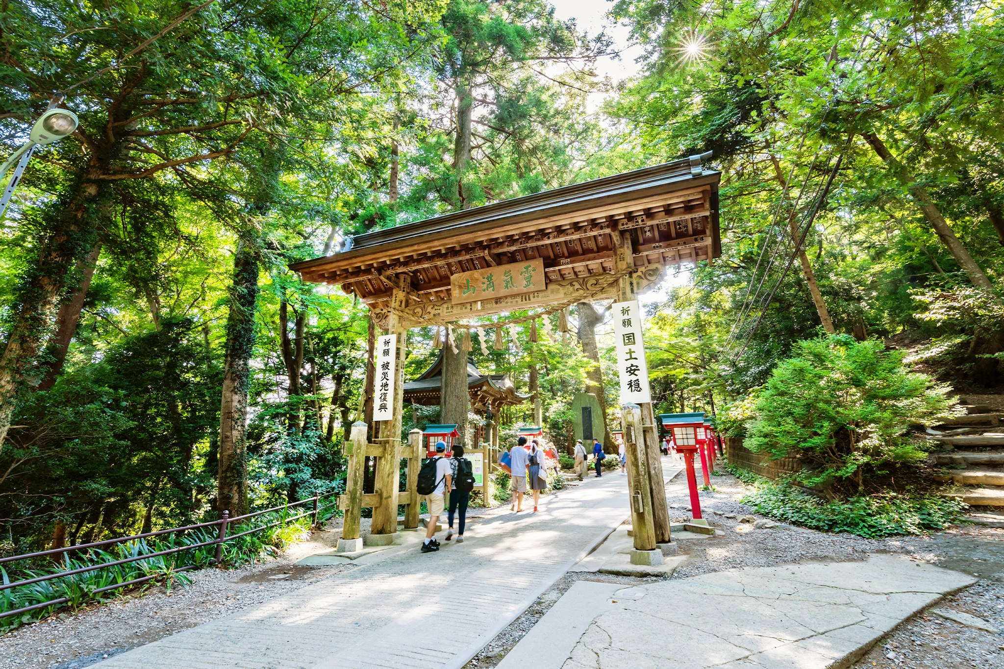
Mount Mitake could be considered an alternative to Mount Takao: they’re both home to tourist-trafficked shrines, and they both have cable cars. Board the cable car to the top of Mount Mitake as the scenery isn’t worth the extra effort so early on. At the summit, there is a cozy little town with a cluster of guesthouses and souvenir shops catering to tourists and pilgrims. It’s a great place for an easy overnight or weekend mountain escape.
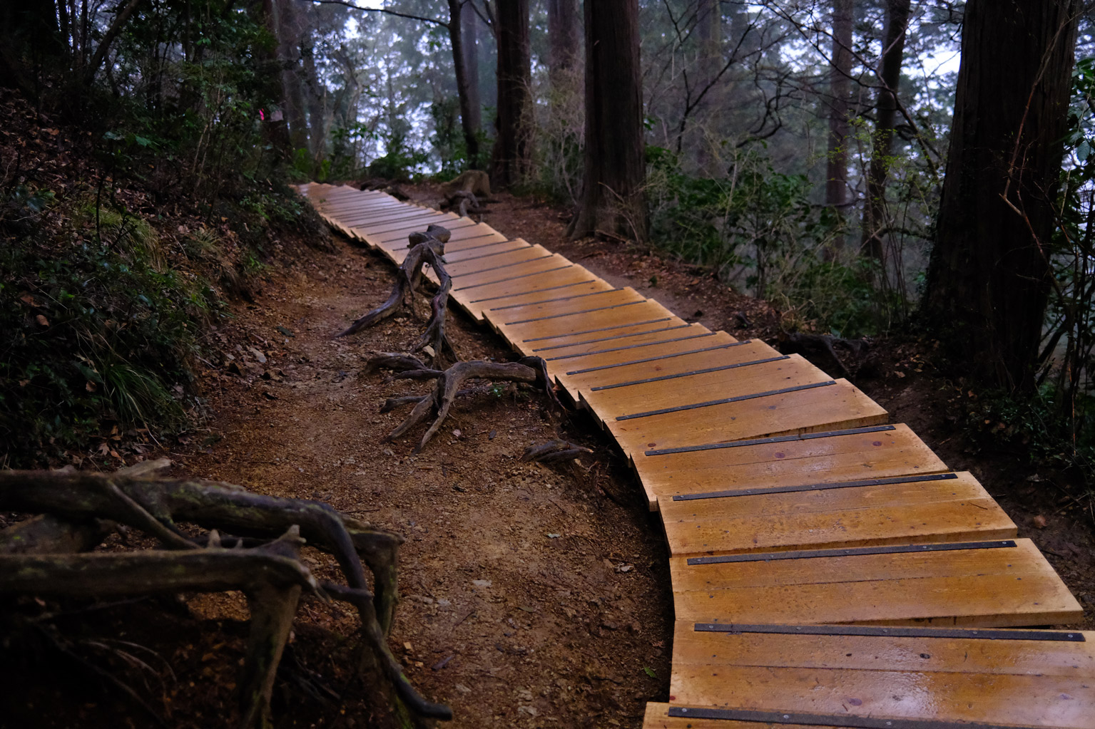
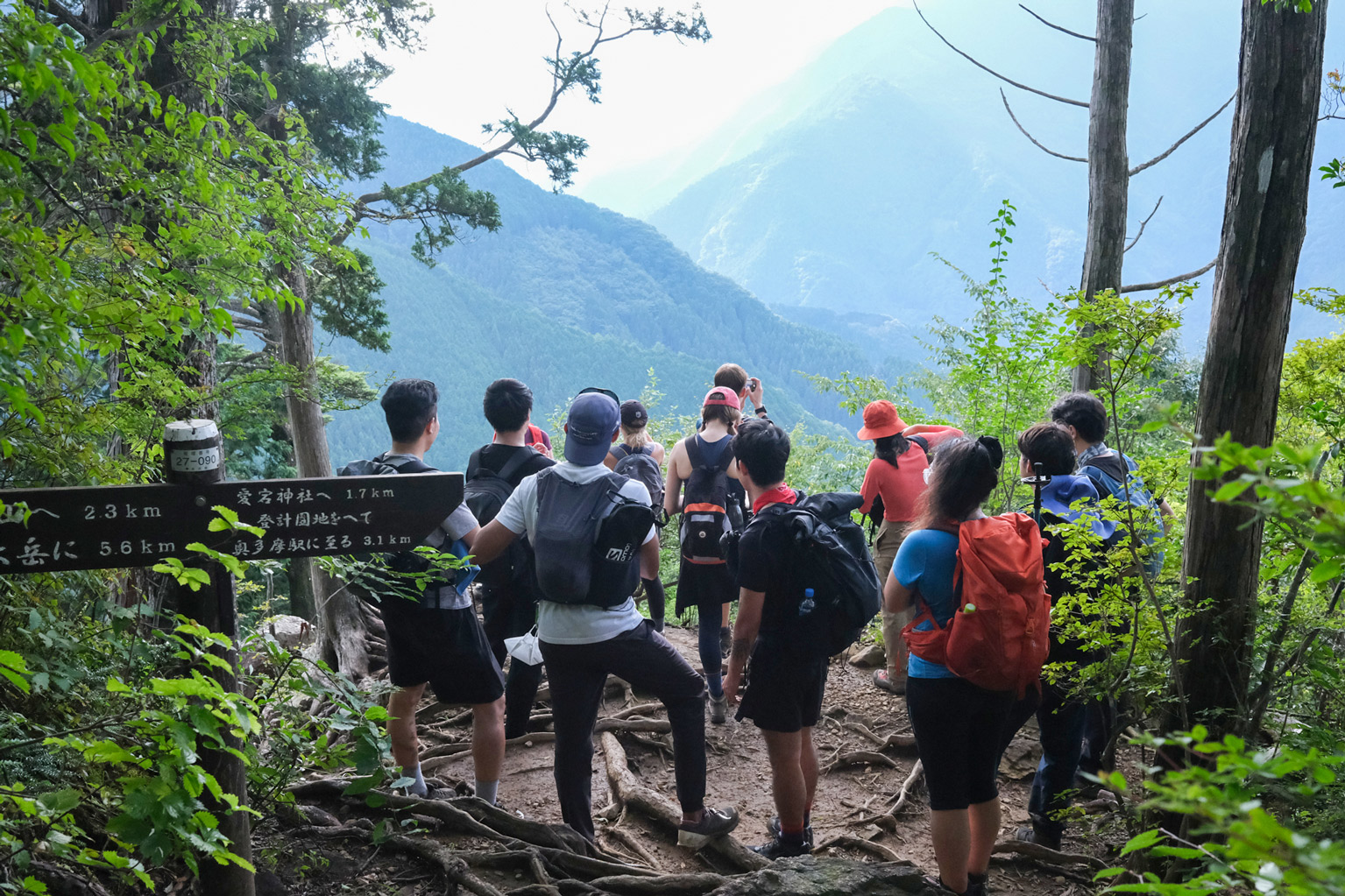
Heading out of town, the route starts off easy with cedar-lined paths but soon gets a bit more exciting as you reach rockier chain-assisted sections. The path continues on in a similar fashion to the Mount Odake summit, where knotted roots and rocky inclines make up most of this final pre-summit stretch. Once you get to the top, you can rest easy knowing most of the hard work is behind you.
From Mount Odake to Mount Nokogiri, there’s the odd rock climb, but it’s mainly filled with tranquil and densely populated cedar forests, offering a chance for a little shinrin-yoku (forest bathing). Along the way, you’ll also come along a ridge with unparalleled views of Mount Mizune and Takanosu, part of Chichibu-Tama-Kai National Park.
Take Your Hiking to New Heights
If you’re keen on hiking but don’t know where to start, check out Open Country, a friendly hiking community that organizes casual hike-gatherings around Japan. You’ll also find them on Instagram.
-385x257.jpeg)