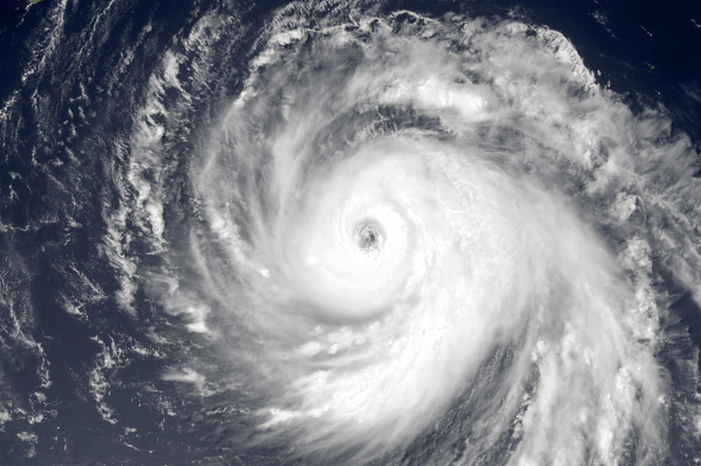
A super typhoon may be heading towards Japan, just a week after a deadly deluge from Typhoon Wipha that pummelled the capital and the island of Ozu Oshima.
Typhoon Francisco is now on its way to the island, tracking north-northwestward, packing sustained winds near 150 km/h with gusts of 222 km/h.
The typhoon season in the Western Pacific is still going strong well into October, and Francisco was recently upgraded to super-typhoon status.
Another round of rain and wind is forecasted in Japan some time between Wednesday and Friday.
As of Tuesday afternoon, Typhoon Francisco was about 530 km southwest of Okinawa and is expected to make landfall near Tokyo by the end of the week.
By then, the storm have potentially weakened into a category one typhoon.
Still, Typhoon Francisco would likely bring a second round of torrential rain following up to 33 inches rainfall from Typhoon Wipha.
Typhoon Wipha, dubbed the strongest in decades, triggered mudslides and flooding. The storm claimed 21 lives.
Although the Joint Typhoon Warning Center said it is certainly possible Typhoon Francisco grazes or avoids Japan altogether, the Japan Meteorological Agency has issued warnings and advisories for much of the eastern part of the country.
By Maesie Bertumen
Image: Wikimedia Commons


_KRAACH-クリスタルバスソルト-385x257.jpg)