
Users can now take a trip down memory lane with Google Map’s newest feature on its Street View service.
Google launched the time travel feature Wednesday, which lets users see how much neighborhoods and landmarks have changed over the last seven years since the digital mapping service began capturing photos of streets worldwide.
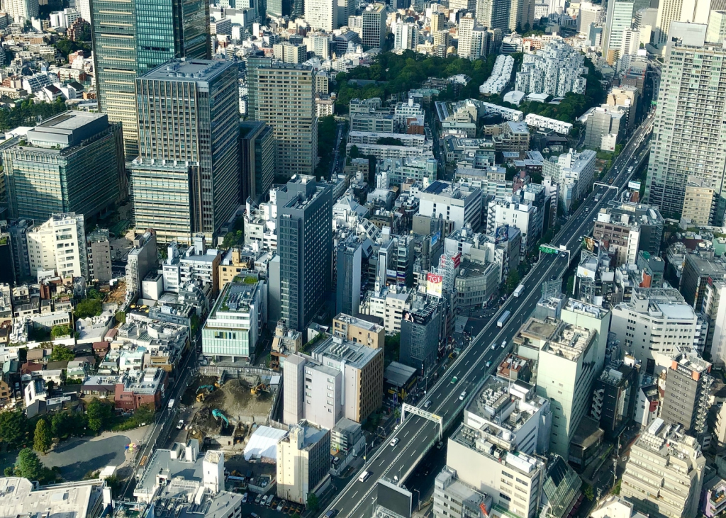
The feature shows 360-degree street views of the places during the past and present. The company said it plans to keep adding pictures as time goes by. Current images are saved in Google’s Street View archives.
Google initially debuted the feature in Japan to immortalize earthquake- and tsunami-ravaged areas before the disaster struck. Many residents who were forced to evacuate during the subsequent nuclear crisis said they wanted to see their homes as they once were.
“We realized the importance of keeping images of the past due to the disaster,” said Keiichi Kawai, who oversees Street View for Google Japan and is a native of Sendai, which was hard-hit during 3/11.
Google decided to expand the service to more than 50 countries and regions after it gained popularity in Japan.
“We are determined to keep records of the changes cities undergo around the world.”
Google Maps attracts more than 1 billion visitors each month by offering a fresh twist to traveling around the world. It also lets people see the dramatic changes places undergo over time.
“As time goes by, many of these images are going to become vintage,” said Vinay Shet, a Google product manager. “We want our maps to be comprehensive as we build a digital mirror of the world.”
Street View users can also follow the restoration work done on JR Tokyo Station’s famous red-brick Marunouchi terminal building through four images taken since November 2009.
In New York, the Street View map shows a series of photos depicting the changing skyline as the Freedom Tower at the World Trade Center was built.
By Maesie Bertumen
Image: Bunny Bissoux