Stretching just over 1,000 kilometers through Aomori, Iwate, Miyagi and Fukushima prefectures, the Michinoku Coastal Trail is one of Japan’s longest and newest trails, having officially been completed in 2019 as part of the Tohoku region’s long-term efforts to rebuild after the 2011 earthquake, tsunami and nuclear disaster.
It’s also one of the most diverse and immersive trails you’ll find: not just because of the varied terrain but because the trail weaves through dozens of towns and villages, offering numerous opportunities to soak up Tohoku culture.
Kabushima to Tanesashi in Aomori Prefecture
Set on a little hill poking out to sea, Kabushima Shrine in Hachinohe City marks the Michinoku’s northernmost trailhead. From here, you could embark on an epic through-hike south to Soma in northern Fukushima, or opt for a far more leisurely day walk 10 kilometers or so down the coast to the Tanesashi Natural Lawn, taking in windswept beaches, rugged outlooks, and an eerie pine grove along the way.
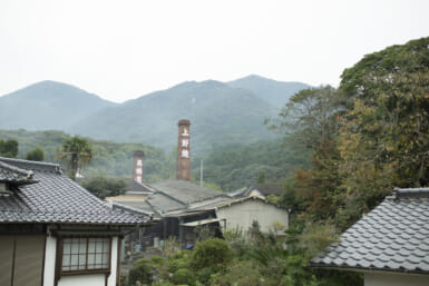
If doing the latter, Tanesashi doesn’t have much accommodation, which is a good excuse to take the local train back to central Hachinohe for a night of yokocho hopping. With 27 tiny, covered stalls that each barely seat half a dozen people, Miroku Yokocho is especially good for local sake and specialties like senbei-jiru hotpot.
Fudai to Tanohata in Iwate Prefecture
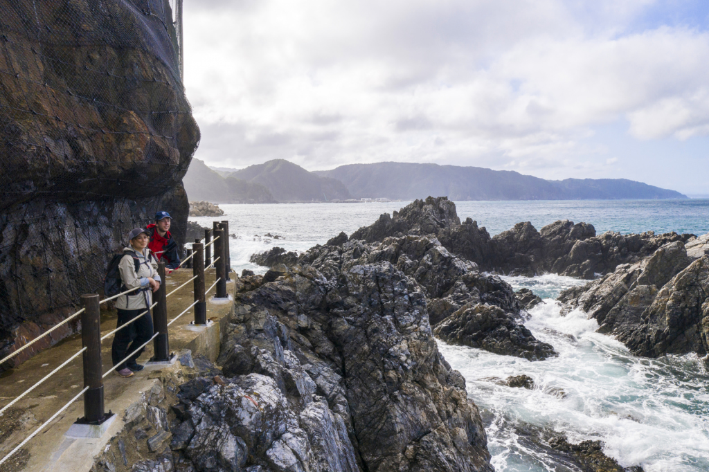
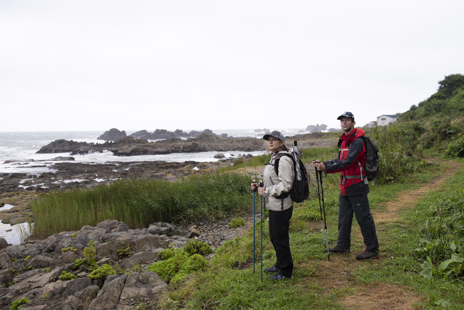
Ideal for a two-day hike, the roughly 25 kilometers of trail between Fudai and Tanohata villages in Iwate Prefecture is like a sampler that combines many of the Michinoku Coastal Trail’s best features. In terms of the trail itself, that includes sandy beaches like Fudaihama, expansive clifftop views at the Kitayamazaki viewpoint, some very up-and-down wooded sections and even a couple of pitch-black hand-dug tunnels to navigate.
This quiet part of Iwate is also perfect for slowing down for a more immersive trip. Take the banya huts at Tsukuehama beach: One of many post-2011 tsunami rebuilds along the trail, the huts are still used by the local fishing industry, but you can also take cooking and salt-making workshops here or sign up for fishing boat tours and diving trips.
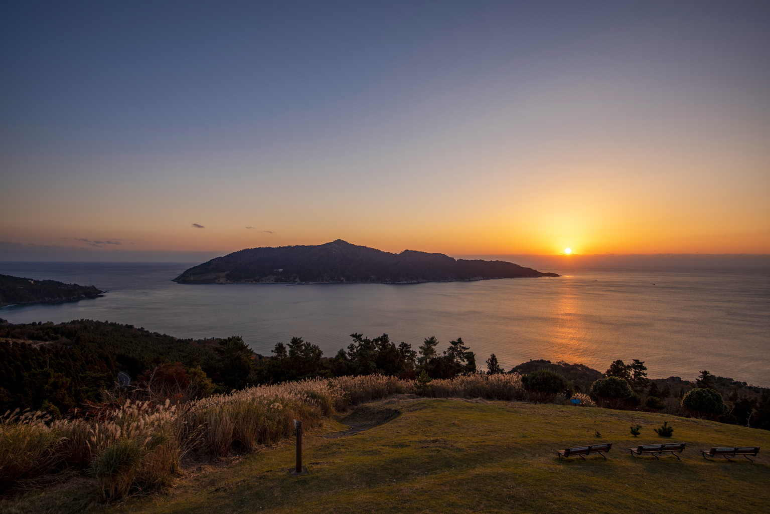
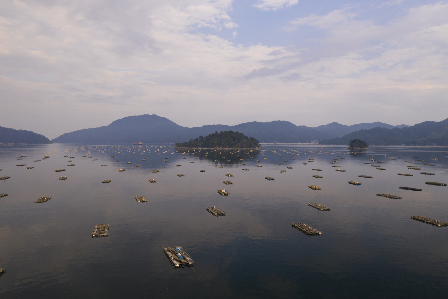
The Oshika Peninsula in Miyagi Prefecture
Like Iwate, Miyagi has lots of good trail sections to choose from. If you have time for just one, consider the Oshika Peninsula. The trail here can feel peacefully remote at times, but also brings the possibility of island-hopping detours.
From Ishinomaki Port, a ferry runs to Tashirojima and Ajishima islands, the latter of which has a lovely swimming beach, while the former has a campground (open from April to October) and cat-shaped lodges designed by manga artists such as Tetsuya Chiba and Machiko Satonaka. Why cats? That’s because (much to the disgust of my shiba), tiny Tashirojima is also known as “cat island” thanks to its hundred or so semi-wild cats.
First up, go online. The Ministry of the Environment has a handy Japanese and English website that breaks the trail into 28 sections — most doable in one to three days — each of which has its own downloadable map and guide. These downloads also come with a list of essential and recommended hiking gear, plus info on trail manners, trail markers, seasonal climate and other extremely useful tips. Just be warned that the content in these free downloads is getting a bit dated. If you want a more up-to-date map, NPO Michinoku Coastal Trail Club sells map books online.
![]()
Also be aware that there is limited accommodation in some trail sections, so whether you are hoping to camp, use a bed and breakfast, or try minshuku and ryokan, it helps to book your accommodation in advance and plan around it. Hiking from Fudai to Tanahota, for example, you could head early morning by bullet train from Tokyo to Hachinohe, then take local trains down the coast to Fudai (total 6 hours), before a mellow 7-kilometer hike to the village-run Kurosakiso Inn. Next day could be a more strenuous trek to Kitayamazaki and the banya huts at Tsukuehama, before making the Hotel Ragaso just before the skies darken.
Note to Travelers
Please plan well in advance when walking the trails and take a map with you. You can purchase a variety of maps or download GPS data on your handheld device via the Michinoku Trail Club website.
For accommodations, please refer the official Michinoku Trail website.
-385x257.jpeg)