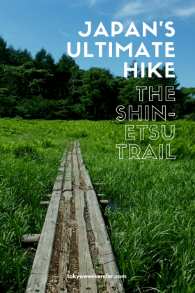
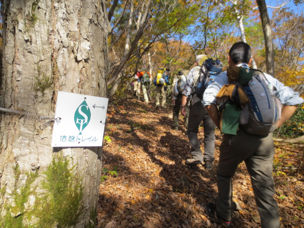
On the border of Nagano and Niigata prefectures is an area that defies time as its mountain ranges have set the stage for some of Japan’s most historic moments. Within this area there is an extensive hiking trail called the Shin-etsu Trail, where you can experience all of that wonder for yourself. Modeled after America’s Appalachian Trail, the trail runs through forests, across wetlands and up and down mountains. Walk through time, beautiful nature and satoyama landscapes on the ultimate Japanese trekking adventure.
What is so special about the Shin-etsu Trail?
Shin-etsu is the area that overlaps Nagano and Niigata prefectures. Within this area there are geologically active mountains that are about one million years old and still growing at 1 millimeter a year. Right in the middle of these mountains is the Shin-etsu Trail. Besides immersing yourself in geological time, you can ponder the historical roots of the trail. It is linked with the gaps through which ancient traders carried salt and sea products to Nagano, and then Uchiyama paper and rapeseed oil back to Niigata. It is said that the warlord Kenshin Uesugi led tens of thousands of his men through these passages on his way to the battle of Kawanakajima.
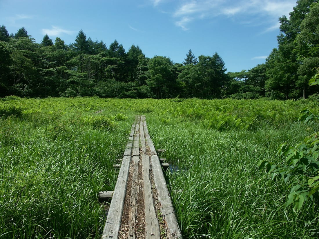
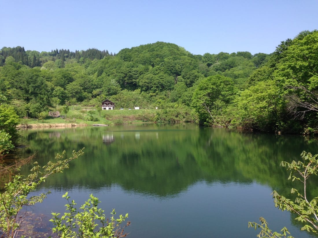
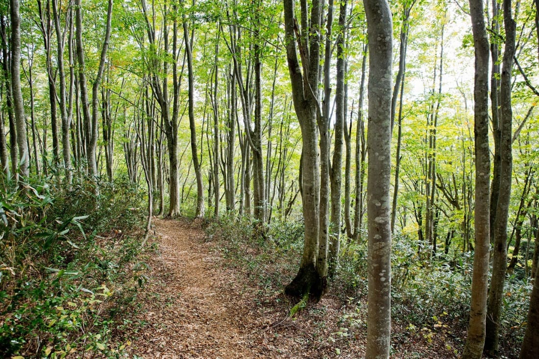
The 80km trail runs along the ridge of the Sekida Mountains. The trail reaches heights greater than 1,000 meters above sea level and offers impressive views. From some points you can see the Sea of Japan, as well as the five famous peaks of Shin-etsu – Mount Iinzuna (1,917m), Mount Togakushi (1,904m), Mount Kurohime (2,053m), Mount Myoko (2,454m) and Mount Madarao (1,382). Passing serene lakes and ponds and lakes, much of the trail also runs through a Japanese beech tree forest. This is the predominant tree along the trail, but there are other coniferous and deciduous trees too. Within these forests wildlife thrives.
Hikers may see wildlife creatures as small and beautiful as butterflies up to the majestic raptors like hawks, owls and eagles. In fact, there are 82 known species of birds within the mountain range making it a great place for bird watching. Even awesome mammals like bears, badgers and tanuki (the mythical Japanese raccoon dog) reside within in this ecosystem.
How to Complete the Shin-etsu Trail
From start to finish the trail runs 80 kilometers and by autumn 2021 it will be extended to 110 kilometers. The trail is divided into six sections. Section 1 starts at Mount Madarao and ends at Akaike Pond. This section traverses the highest point of the trail – 1,382 meters. Section 2 goes from Akaike Pond to Wakui and passes through the lowest part of the trail (563 meters) as it meanders through wetlands.
Section 3 goes from Wakui to Hotokegamine Trailhead and is overall the lowest section of the route. Section 4 goes from Hotokegamine Trailhead to Sekida Gap and reaches the second highest point of the trail. Section 5 goes from Sekida Gap to Busino Gap. Finally section 6 finishes at Mount Amamizu completing Japan’s most grandiose trek. Once the Shin-etsu Trail is extended the last leg will reach Mount Naeba.
Due to the high snowfall the area is closed in winter (though ski conditions are prime). The trail is open from the end of June to the beginning of November, although some sections open as soon as the end of May or early June. Hiking the entire length is usually done within five nights and six days. Along the trail there are camping facilities at the cost of ¥1,000 per night (reservations required) and for the less rugged hiker some places near the trail offer lodging. Of course, if you don’t have time to hike all of it, it is still convenient to complete a section or two within one day or two. The possibilities are endless.
Just like the traders who passed through the Sekida Mountains and marveled at them, you can do the same on the Shin-etsu Trail. The experience of completing the trail will be just as timeless as the mountains themselves.
How to Access the Shin-etsu Trail
From Tokyo Station take the Hokuriku Shinkansen to Iiyama Station (¥8,890 one-way) taking about 100 minutes. On the first floor of the station there is the Shizenkyo Activity Center where you can find the latest information about the trail, as well as receive official trail maps. Then exit the station and take a local bus for about 30 minutes to the Mount Madarao Trailhead.
From Iiyama Station there are also various stops on the Iiyama Line where you can catch a bus to access the different sections of the trail in case you want to explore a certain part of it.